PROGRAMMES
PROGRAMMES
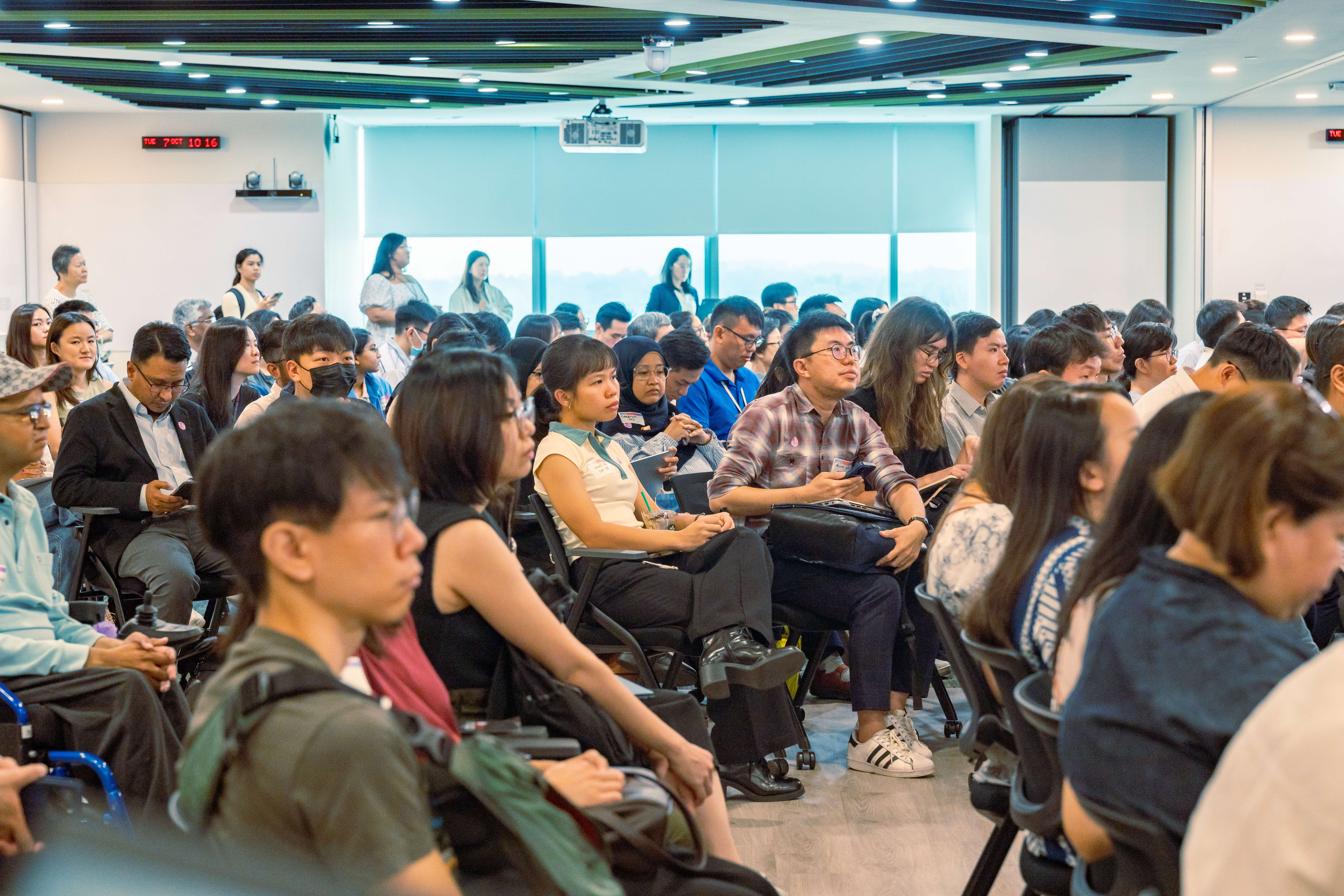
GeoEngage 2025: Socio-Healthcare Edition
In Oct, the event brought together over 170 particpants to explore how geospatial insights can enhance social service delivery and strengthen community care.

Challenges
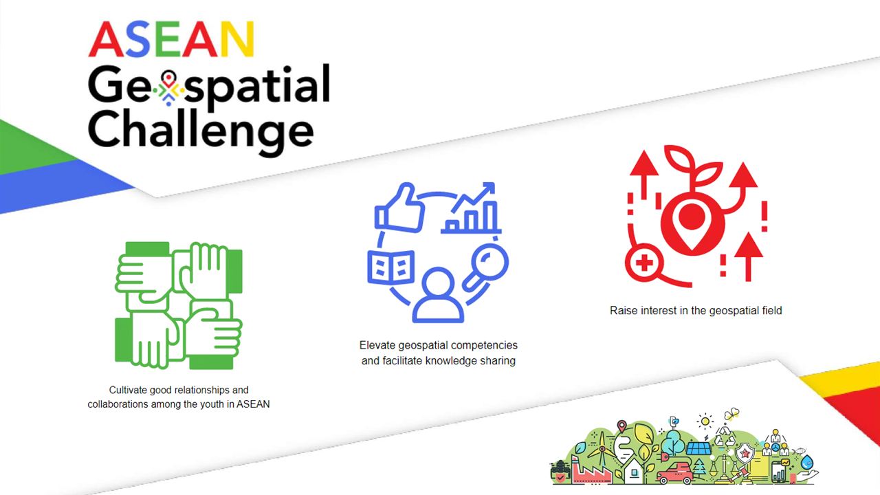
ASEAN Geospatial Challenge (AGC) 2025
AGC2025 brings youth in the ASEAN region together to use geospatial technology & information to support nations in achieving the Sustainable Development Goals.