Singapore Geospatial Festival 2024
Organised by the Singapore Land Authority (SLA), with the Maritime and Port Authority of Singapore (MPA) as a Supporting Partner, the theme for Singapore Geospatial Festival (SG GeoFest) was “Geospatial for Good: Enriching Minds, Empowering Lives”, which highlights the transformative impact of geospatial technology on social good and youth education.
The event brought together the geospatial community (public and private sectors as well as the community-at-large) for talks, panel discussions, workshops and co-located activities.
The 3-day festival from 15 - 17 October was attended by close to 650 participants.
Opening Session
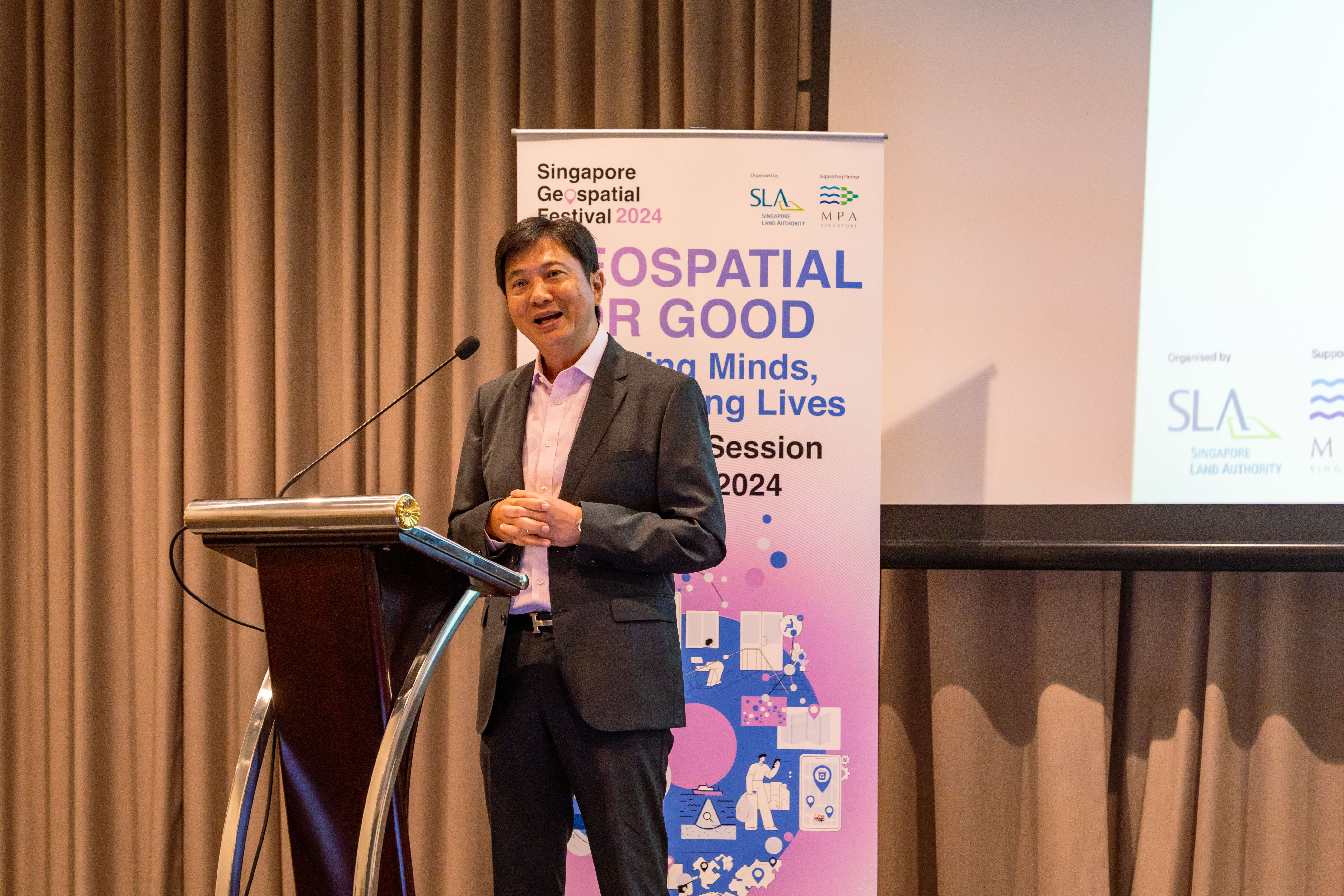
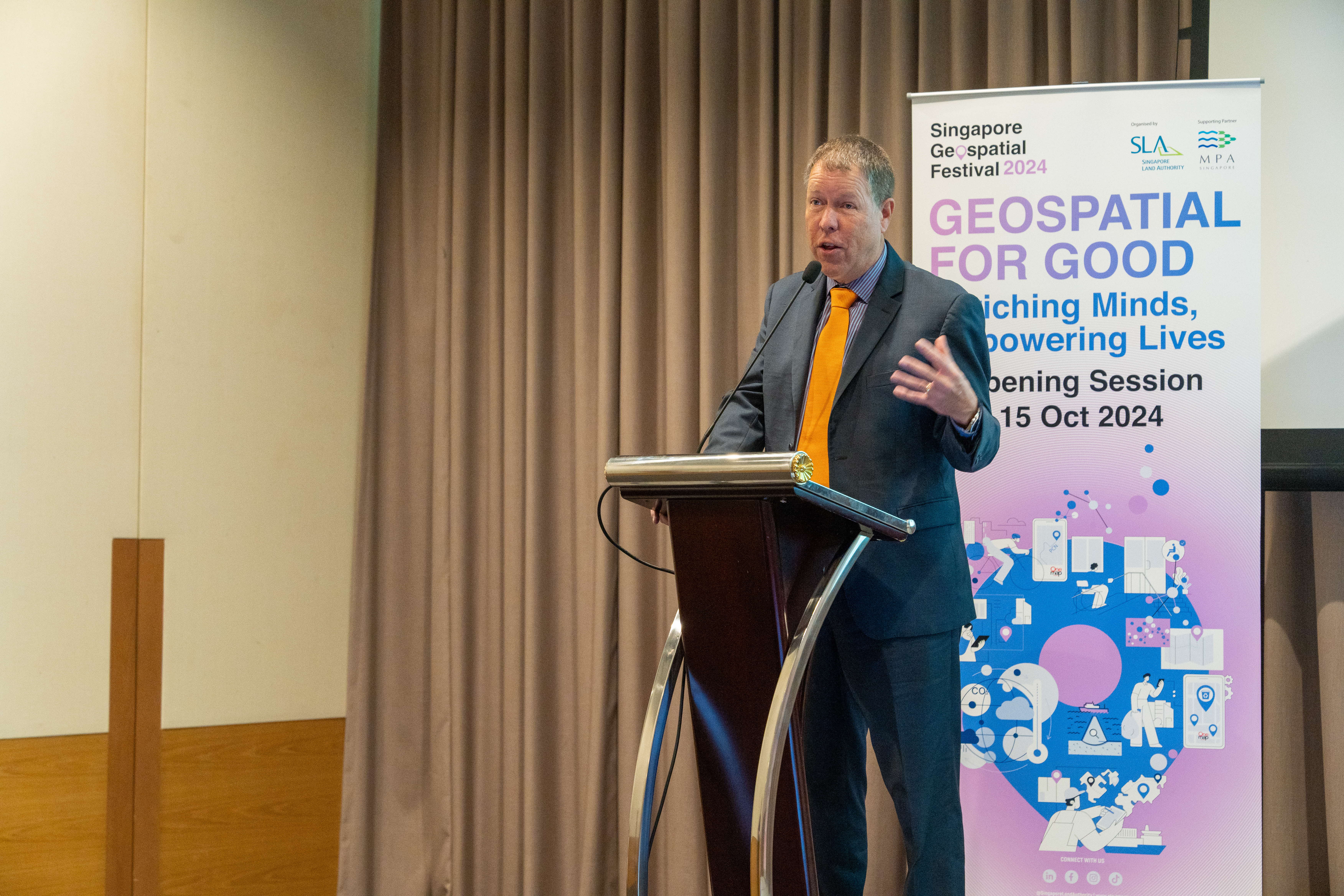
The opening session of SG GeoFest 2024 was kicked off with the Opening Address by Mr Yeoh Oon Jin, Chairman of SLA. In his remarks, Mr Yeoh outlined the refreshed Singapore Geospatial Master Plan and its 3 key pillars - Mainstreaming, Deepening Capabilities, and Going Global. He highlighted initiatives such as social prescribing with SingHealth Community Hospitals, Barrier-Free Access efforts with OneMap, and projects with IRAS and MPA on property tax and climate mitigation as examples of utilising Geospatial for Good.
MOU Signing with Open Geospatial Consortium (OGC)
SLA signed a Memorandum of Understanding with OGC during the opening session of SG GeoFest. This MOU aims to strengthen collaboration through forums, workshops, and training sessions to advance geospatial knowledge.
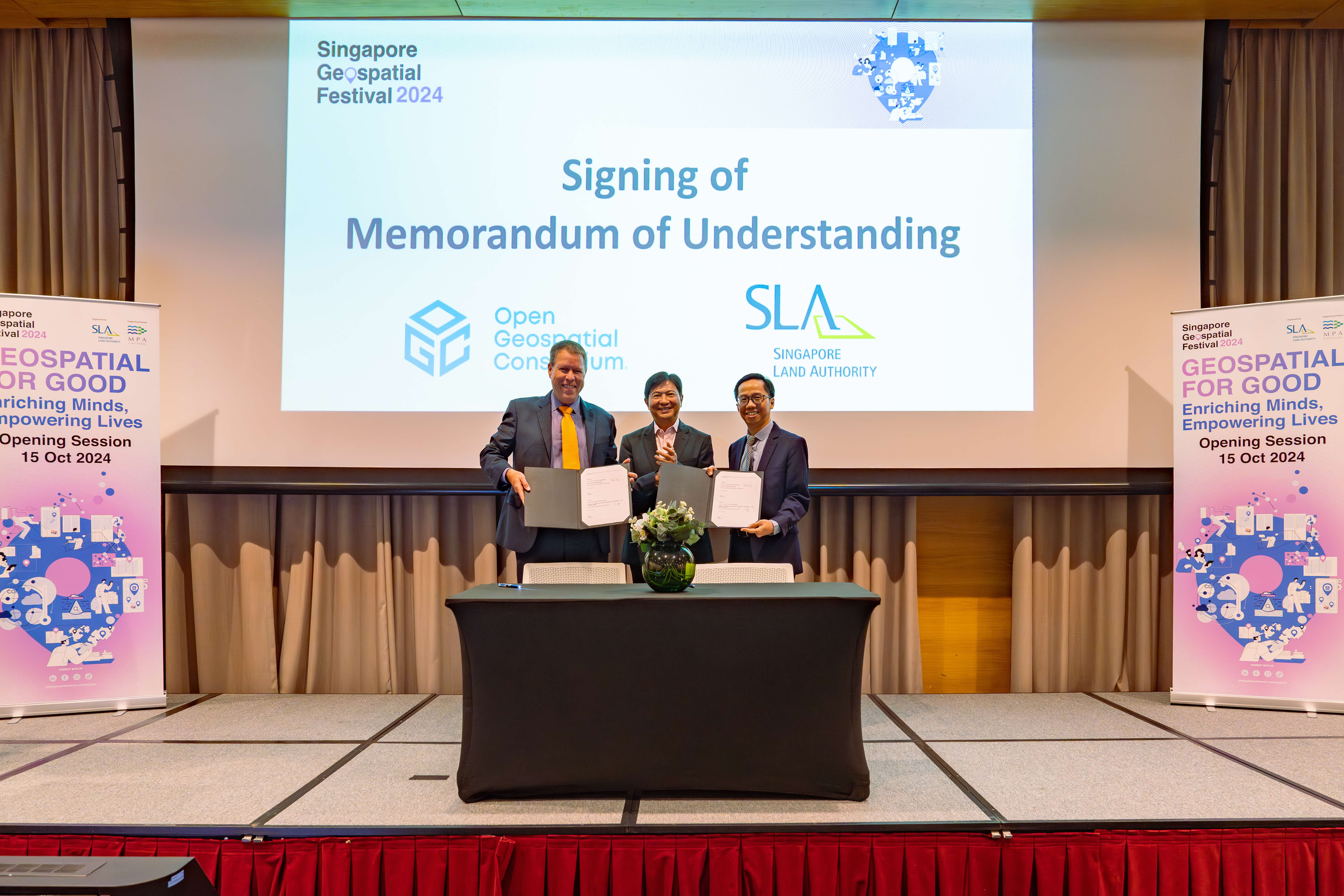
From right: Mr Sin Lye Chong, Assistant Chief Executive (GeoSpatial & Engagement) & Chief Sustainability Officer of SLA | Mr Yeoh Oon Jin, Chairman, SLA | Mr Scott Simmons, Chief Standards Officer, OGC
AWS-SLA Geospatial Innovation Challenge
The Amazon Web Services (AWS) - Singapore Land Authority (SLA) Geospatial Innovation Challenge invites students to create technological initiatives and geospatial solutions to address healthcare and social issues in Singapore.
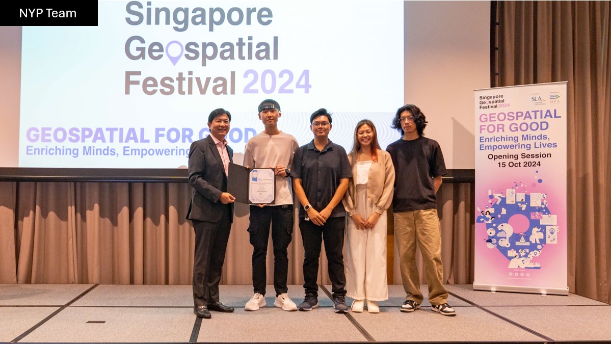
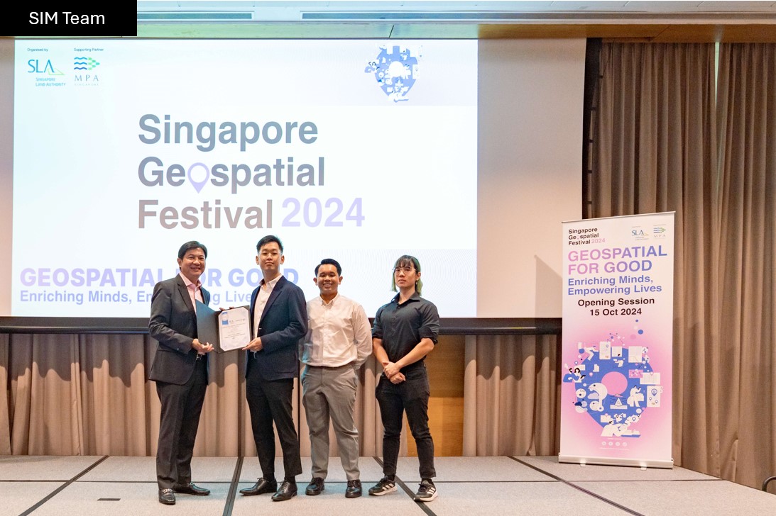
Congratulations to all the 3 participating teams from the Nanyang Polytechnic (NYP), Singapore Institute of Management (SIM) and Singapore Management University (SMU), who received their awards at SG GeoFest 2024!
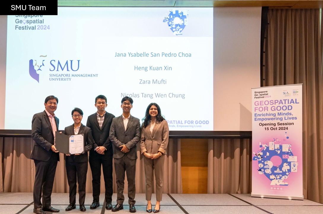
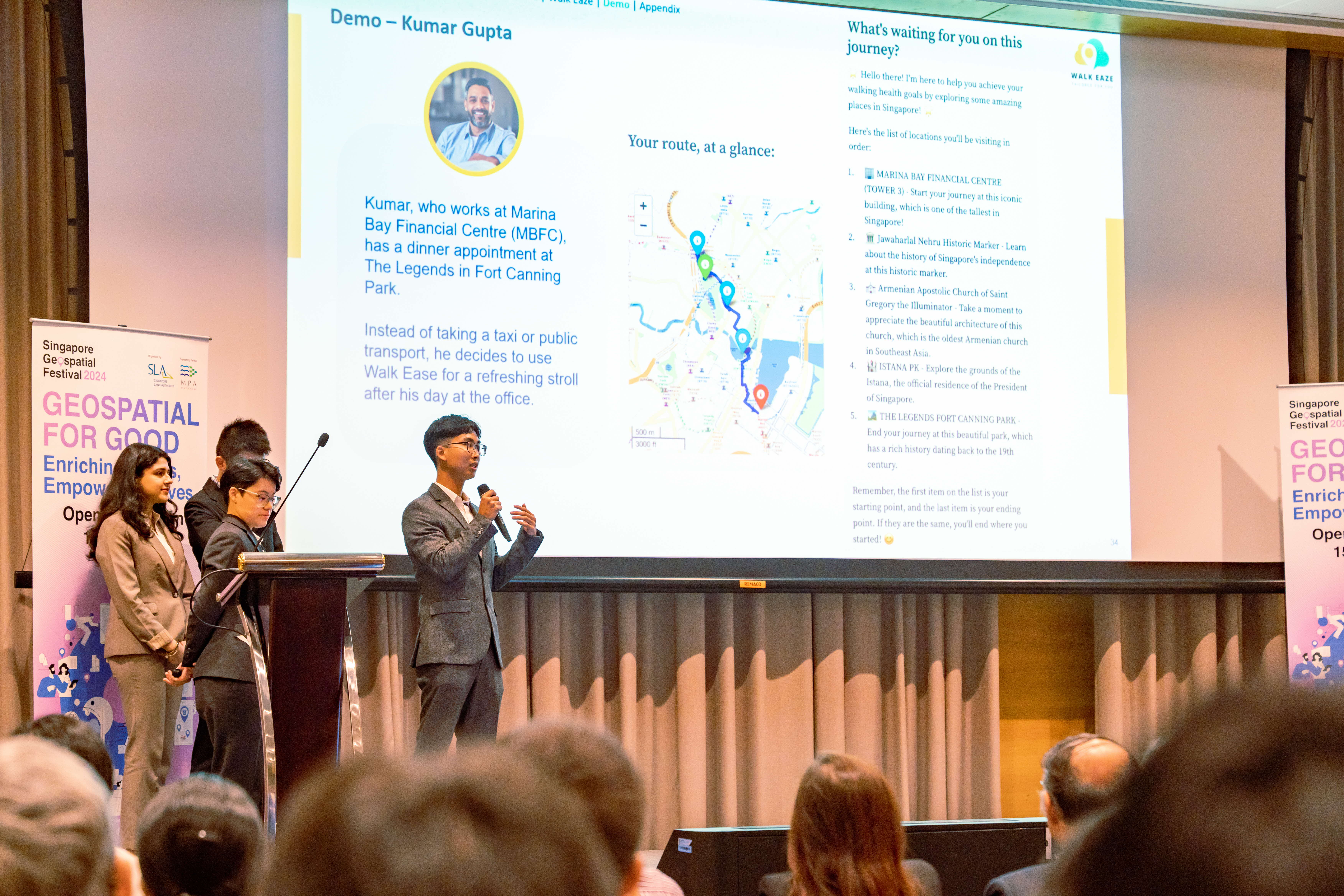
The winning team from SMU presented their app prototype, Walk Eaze, which empowers hikers and walkers of all fitness levels to create fresh, exciting routes based on terrain, inclines, and distance - making every walk unique.
Industry Keynotes
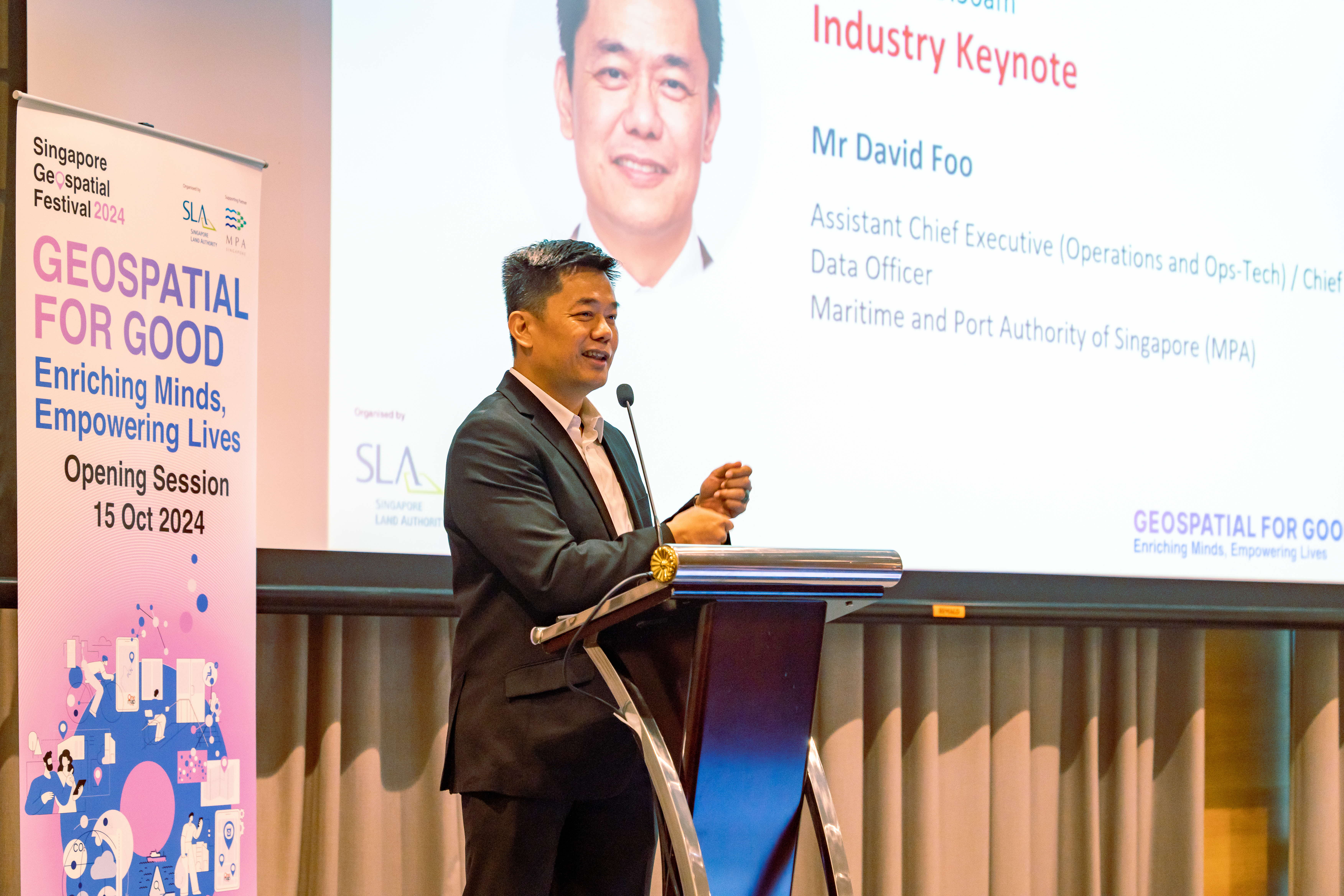
We were honored to welcome Mr David Foo, Assistant Chief Executive (Operations and Ops-Tech) / Chief Data Officer from the Maritime and Port Authority of Singapore (MPA), as he delivered the first industry keynote. His keynote highlighted the crucial role of marine geospatial information in safeguarding our coastlines and environment, and that MPA and SLA are expanding the SiReNT GNSS network to improve monitoring of vertical land motion, crucial for accurate sea-level rise projections.
The second industry keynote delivered by Mr Scott Simmons, Chief Standards Officer of Open Geospatial Consortium (OGC) recounted OGC's journey towards deeper engagement in Singapore, highlighting the country's unique commitment to ensuring everyone has access to data that enhances their lives. This has culminated in the OGC SG Forum held in the afternoon to learn from our respective global counterparts.
Exhibition
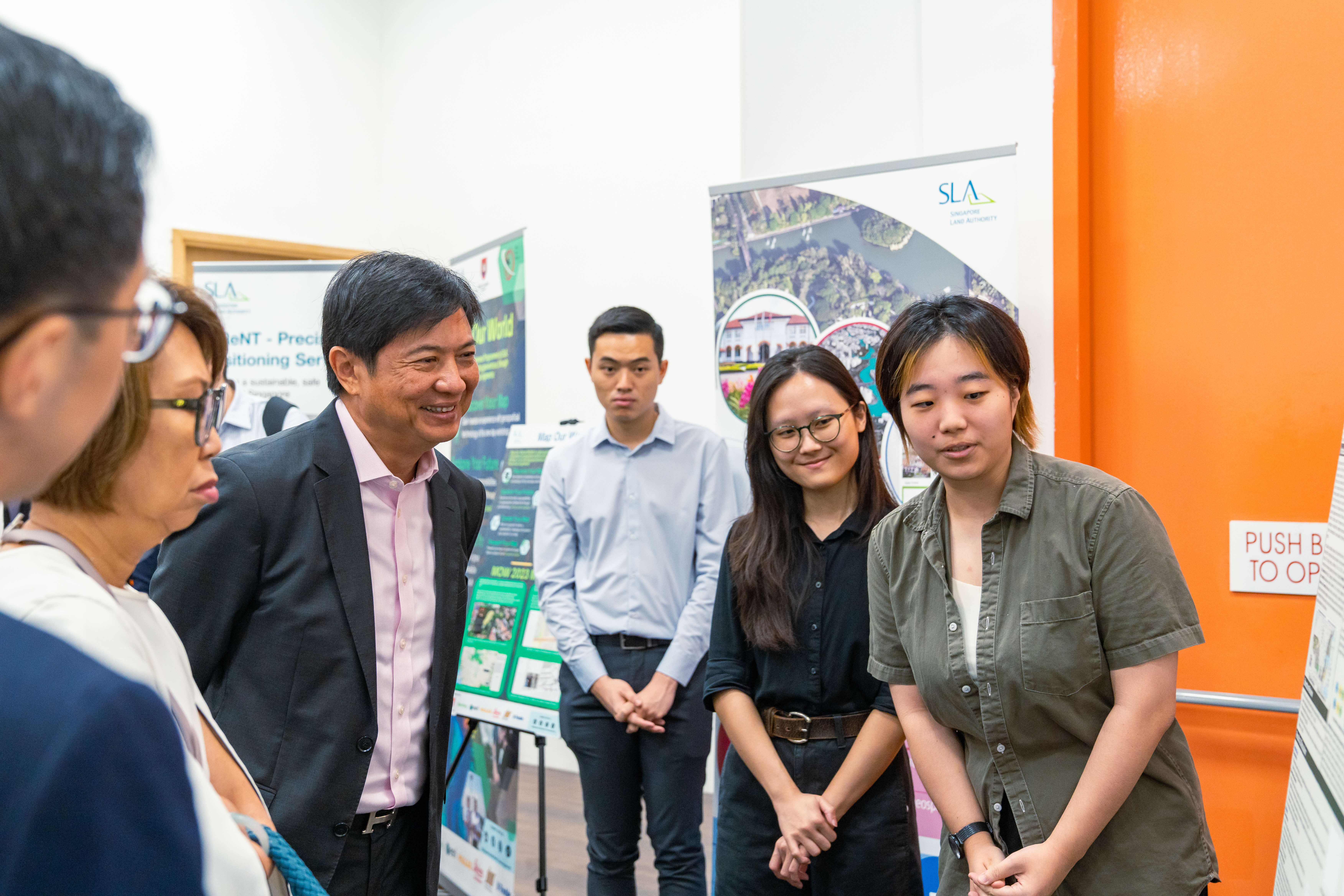
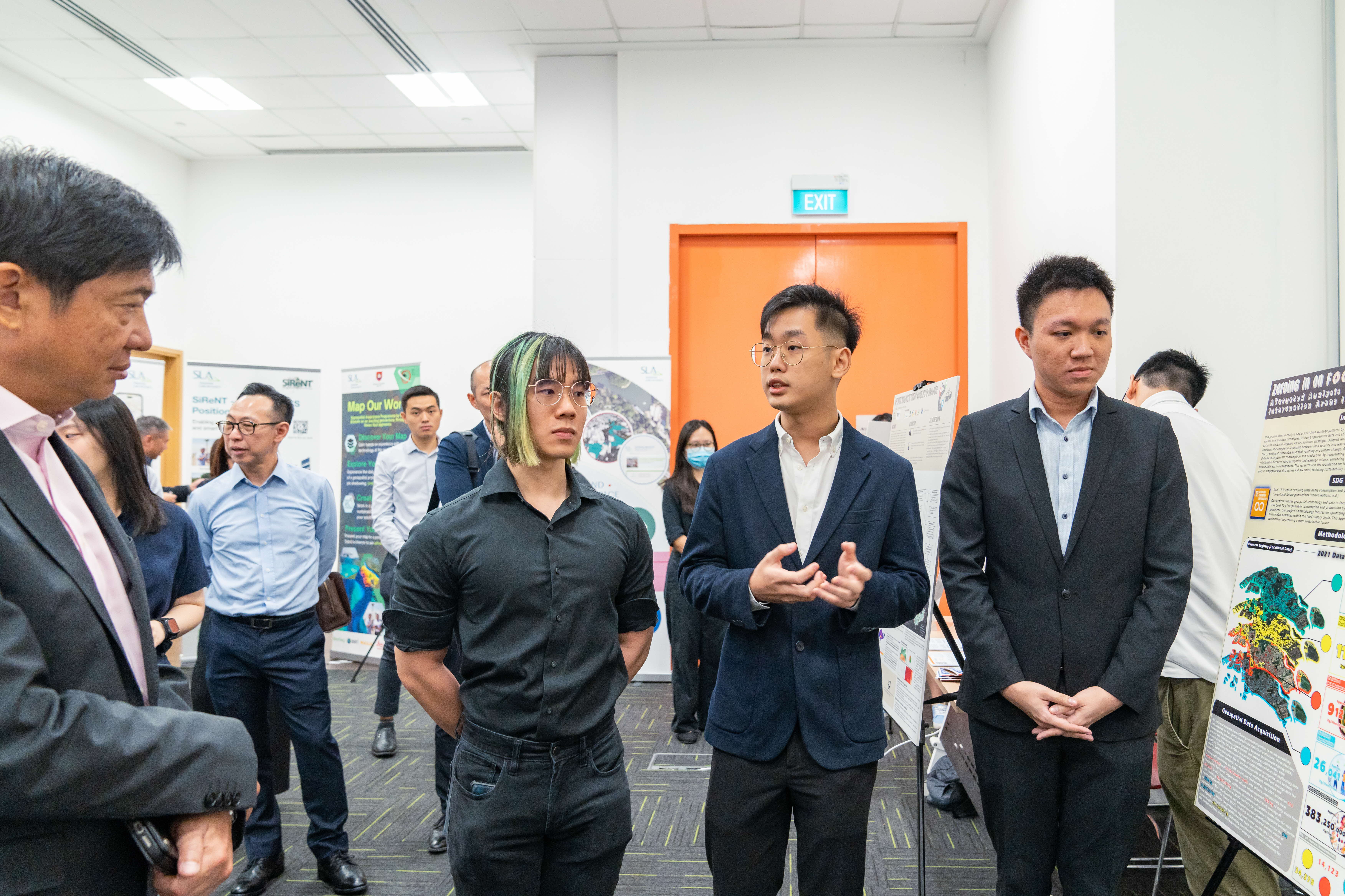
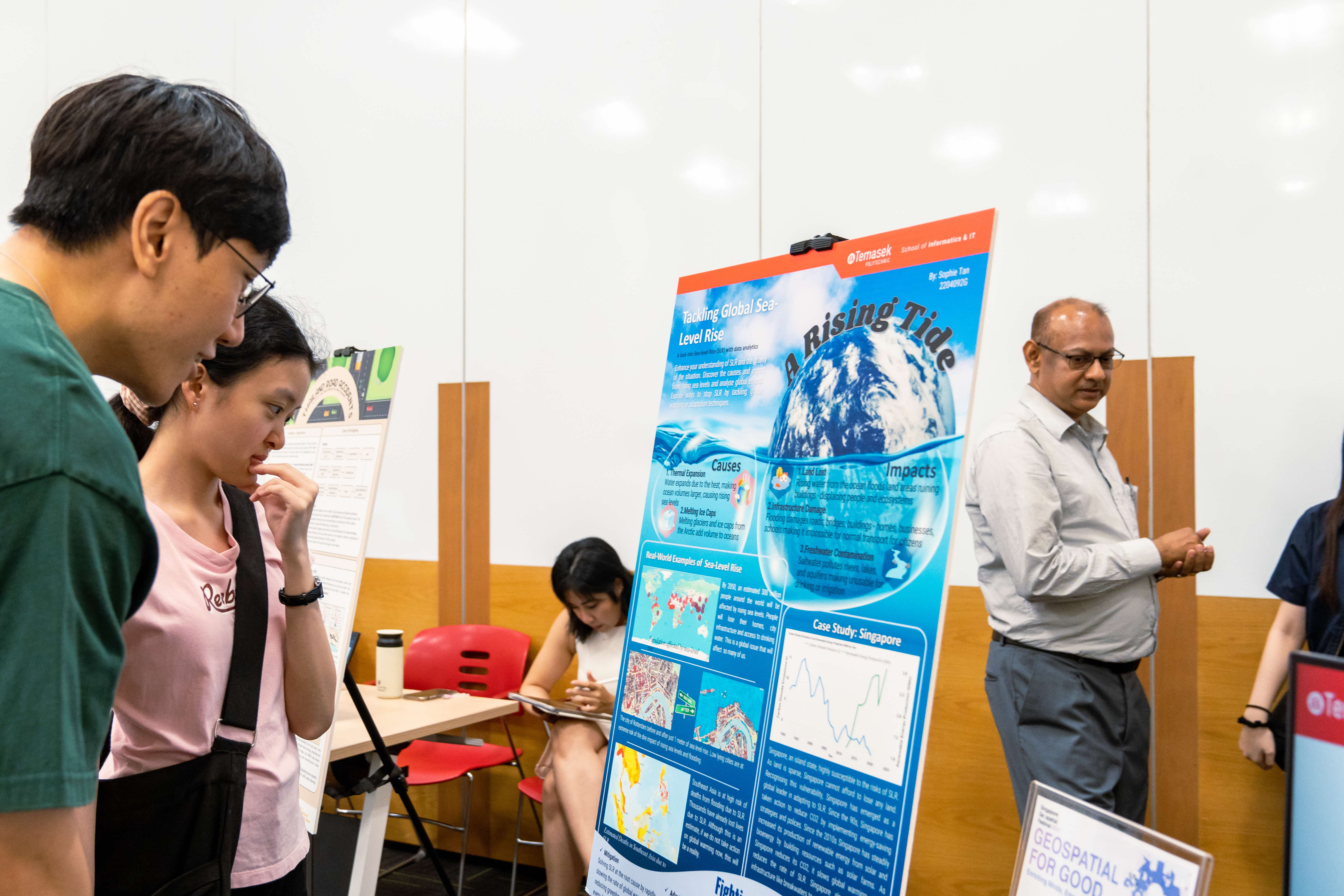
Over at the exhibition hall, students from TP, NUS, SMU and SIM showcased projects tackling pressing challenges like sea-level rise and food wastage. In particular, the NUS team delved into spatial data processing, GIS programming and database design to evaluate the cooling effects of vegetation and water bodies on urban heat.
Together, these young talents are inspiring a smarter, greener future with geospatial innovation!
Geospatial for Good Presentations
In line with the theme 'Geospatial for Good: Enriching Mind, Empowering Lives', speakers from SMU, SingHealth Community Hospitals, AWS, Nika.eco and ESRI shared insights on leveraging geospatial technology to create positive societal impact.

Dr. Kam Tin Seong, Associate Professor of Information Systems (Practice), School of Computing and Information Systems from SMU shared actionable insights and best practices for instilling the values of social awareness and ensuring our geospatial analytics initiatives genuinely serve the public good in the mentoring of future management practitioners.
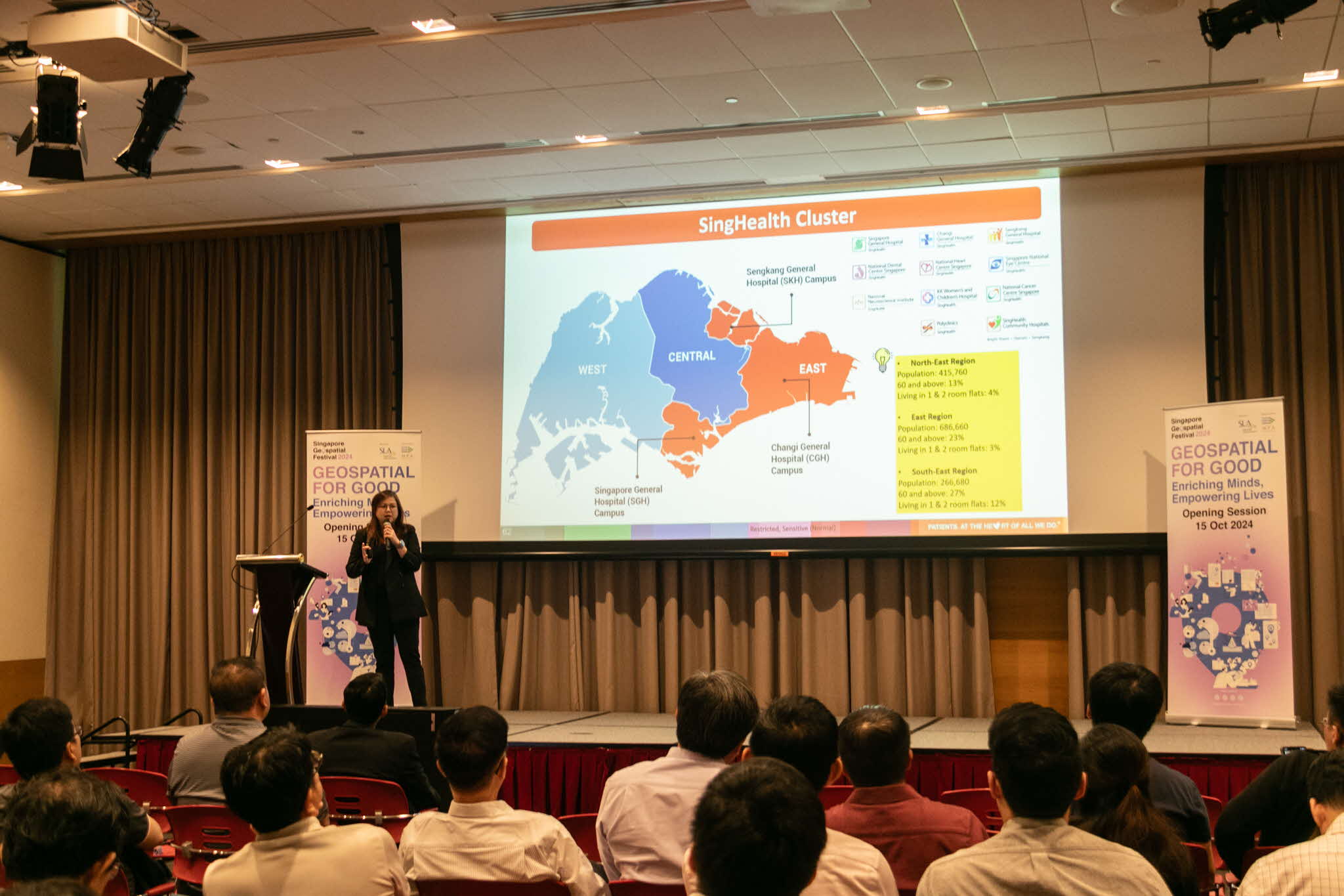
Ms Clara Poh, Senior Manager, Office of Community Engagement and Education from SingHealth Community Hospitals provided insights on the Living Asset Map project and how it significantly enhances the delivery of integrated care.
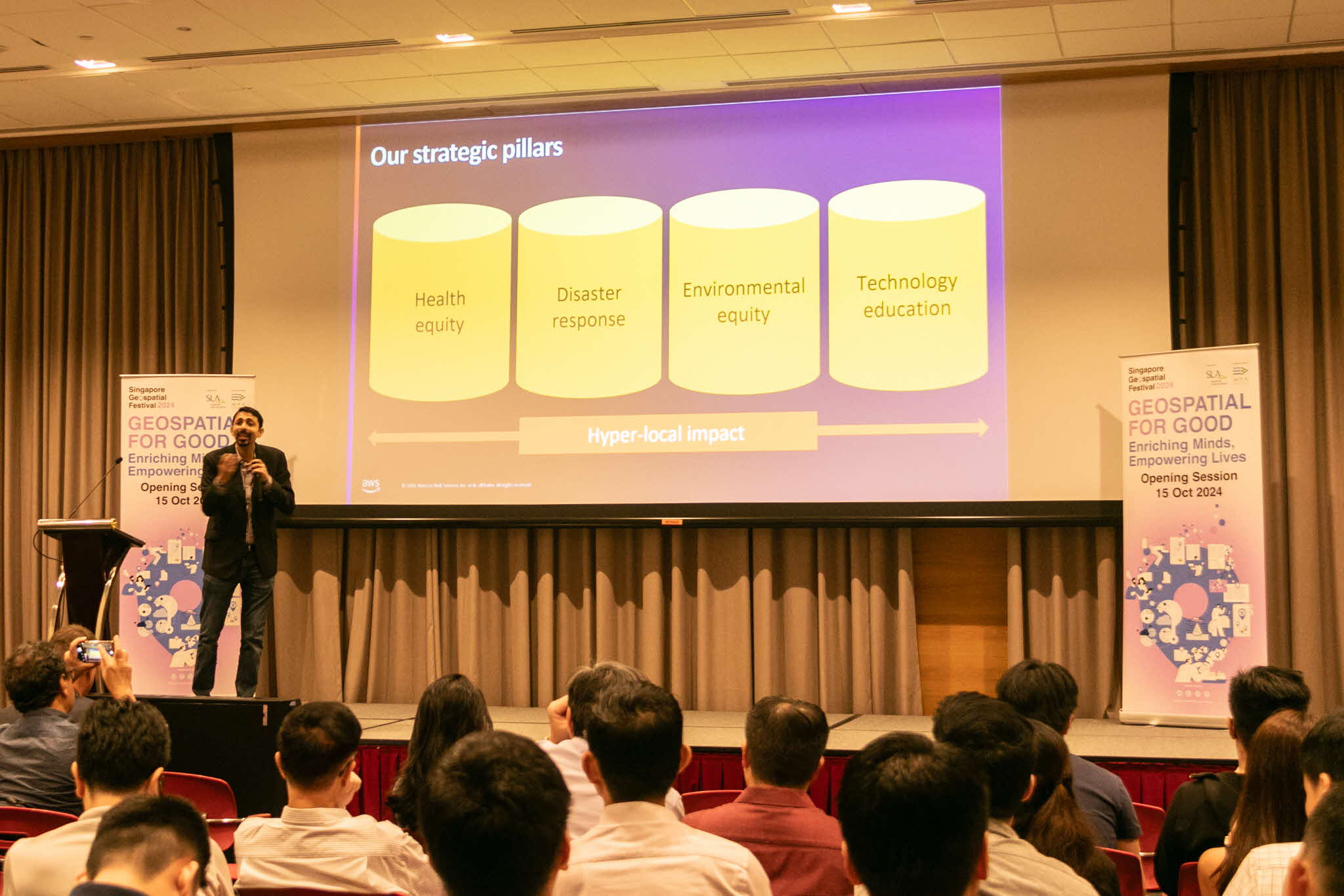
Mr Sapan Kumar, AWS Smart Cities Leader, ASEAN from Amazon Web Services discussed how geospatial data and the application of AI/ML technologies on the AWS cloud contributed to the establishment of low emission zones in Barcelona, resulting in improved air quality and a healthier, more sustainable environment for its residents.
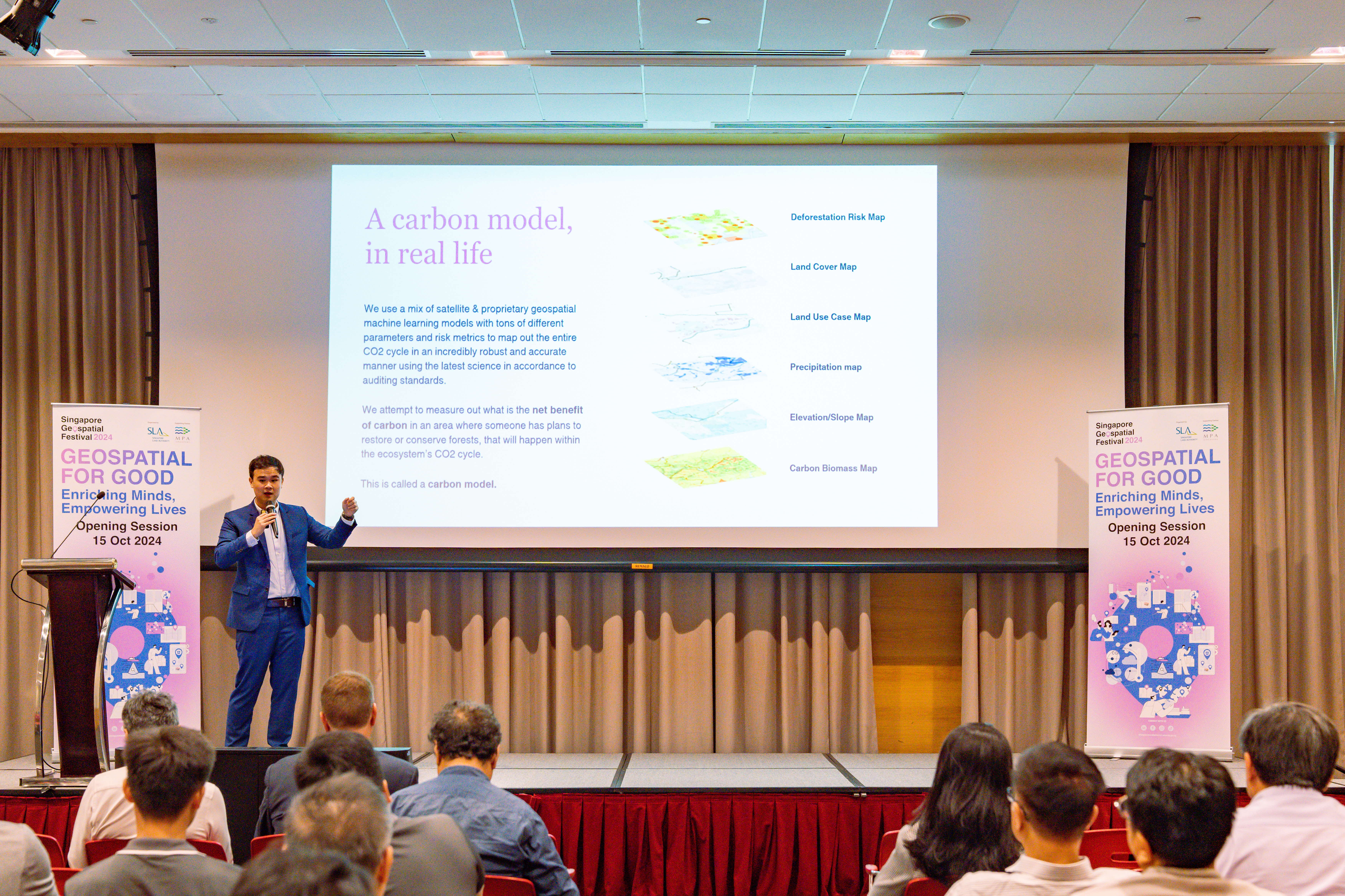
Mr Johann Wah, Co-Founder from Nika.eco examined case studies demonstrating how geospatial AI and machine learning are being used today to create models that help mitigate climate risks.
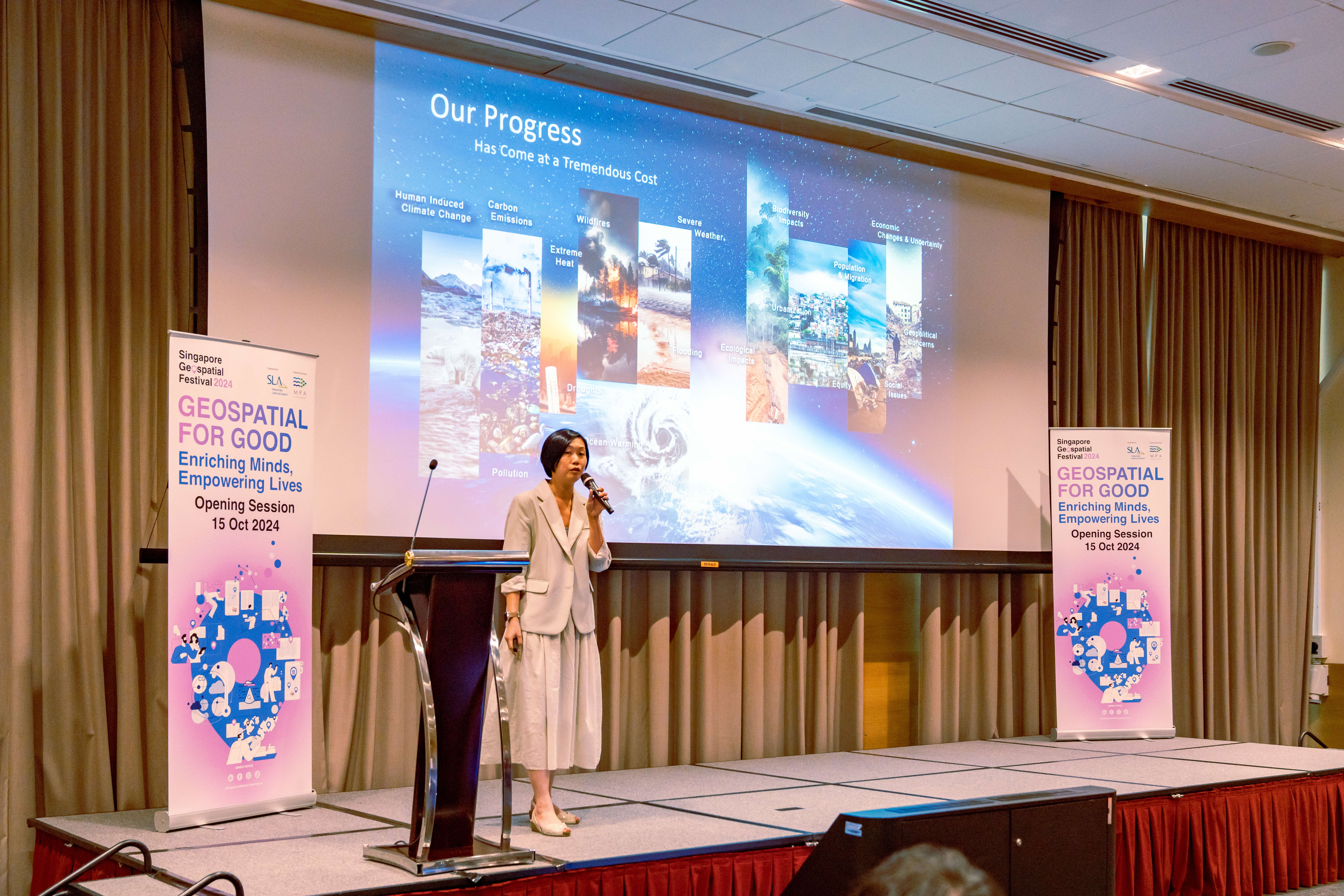
Ms Sharon Gin, Senior Manager, Solution Engineering from ESRI Singapore highlighted the impact of the Sustainable Development Goals (SDGs) on various organisations and demonstrated how GIS has been crucial in advancing these goals.
OGC SG Forum
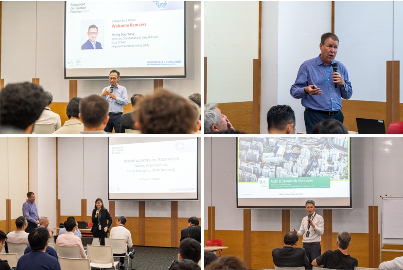
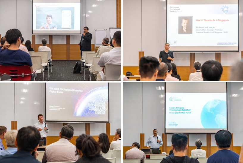
Jointly organised by OGC and SLA, this initial meeting provided insights into geospatial standards in Singapore, focusing on land-marine interoperability, digital twins, barrier-free accessibility, and indoor mapping.
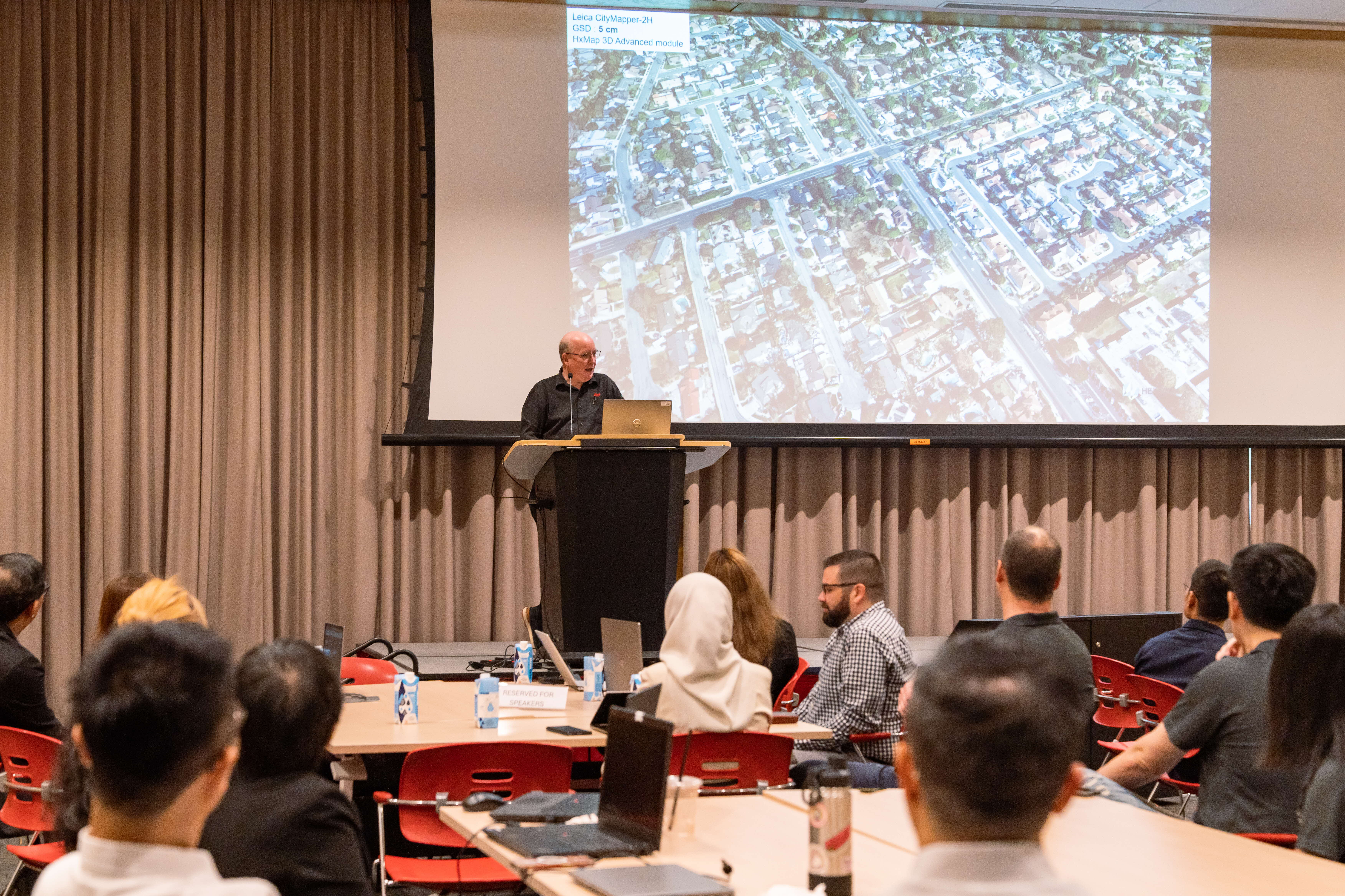
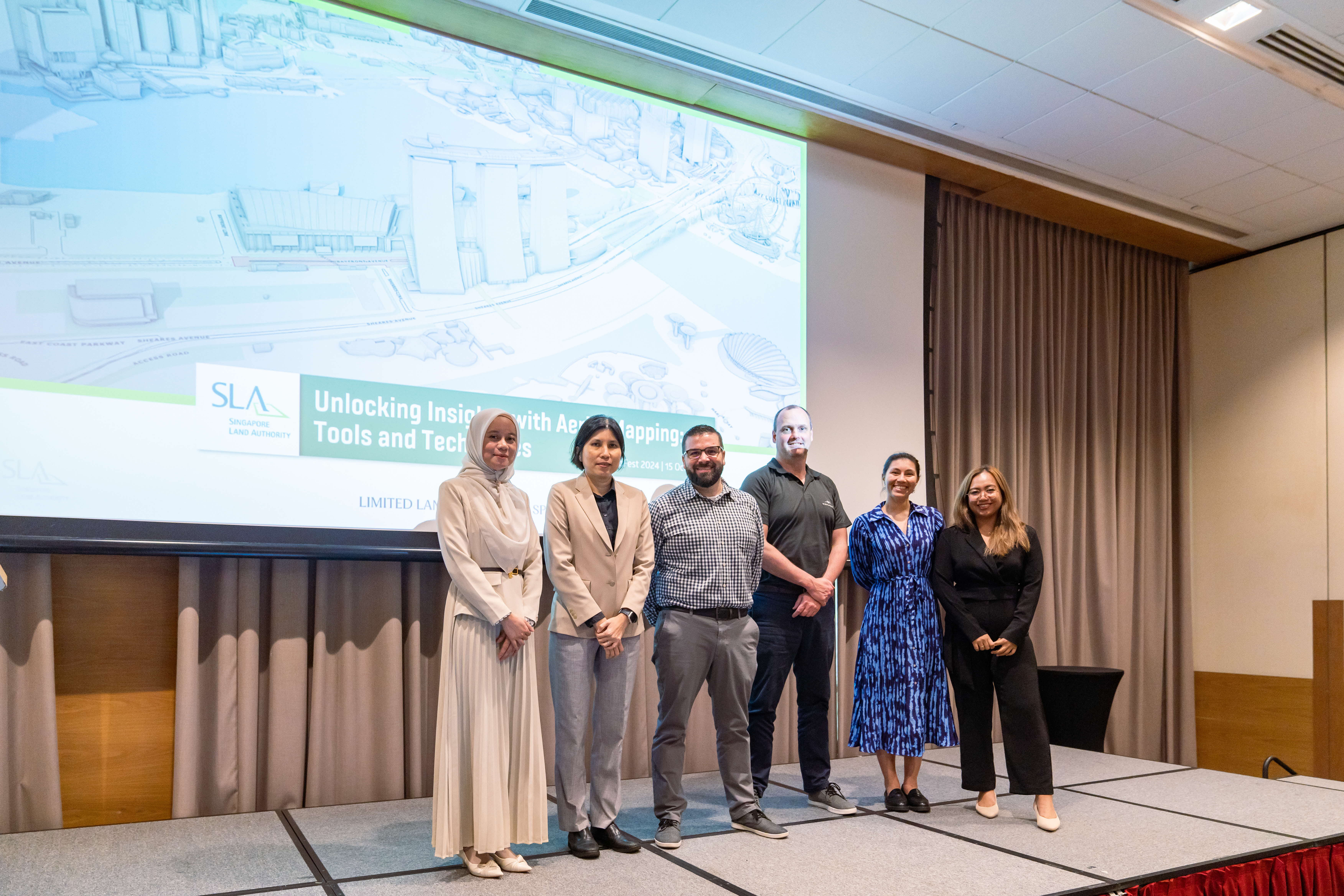
Unlocking Insights with Aerial Mapping: Tools and Techniques
In this workshop conducted by the Survey & Geomatics team from SLA, participants learnt to differentiate between imagery and LiDAR sensors, and how aerial mapping data is collected and processed.
SG GeoFest Day 2 & 3
Speakers from Amazon Web Services (AWS), Hexagon & Leica Geosystems and Trimble Inc. spoke on how they utilise geospatial data and technology for social good.
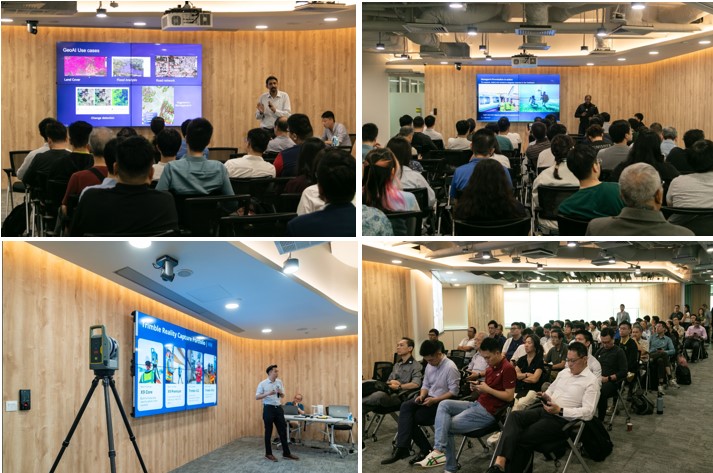
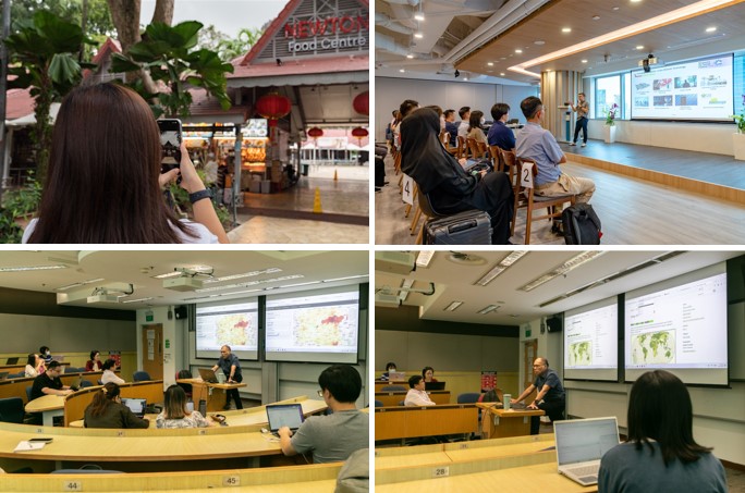
Concurrently, SLA facilitators conducted a GeoAdventure activity where the participants explored how geospatial technology empowers our daily lives, with hands-on activities revealing how it shapes the way we navigate and understand our environment. Prof Kam from SMU also conducted a hands-on workshop on 'Building Web-Enabled Geospatial Analytics Applications with Shiny'.
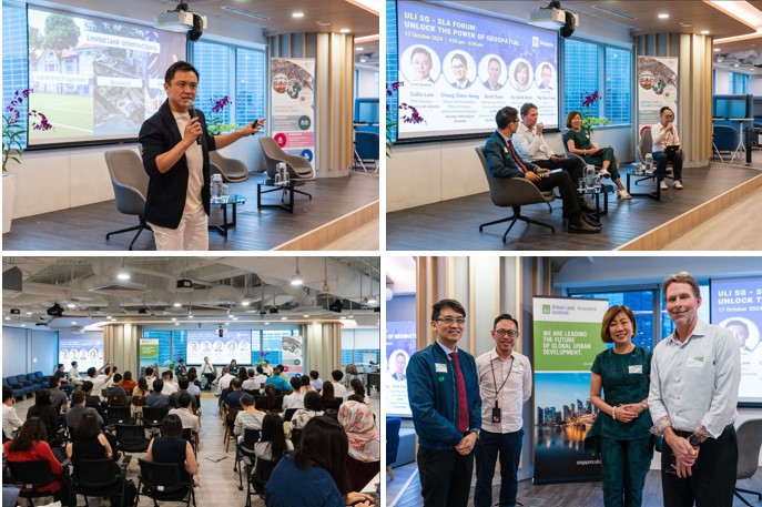
At the Urban Land Institute (ULI) SG - SLA Forum, geospatial technologies took centre stage in shaping sustainable urban development. SLA Chief Executive, Mr Colin Low opened the forum, setting the stage for a distinguished panel featuring Ms Ku Geok Boon, CEO of SG Enable, Mr Scott Dunn, Vice President (Asia) of AECOM, Professor Chang Hung Chew of National Institute of Education, moderated by Mr Ng Siau Yong, Director of GeoSpatial & Data / Chief Data Officer of SLA.
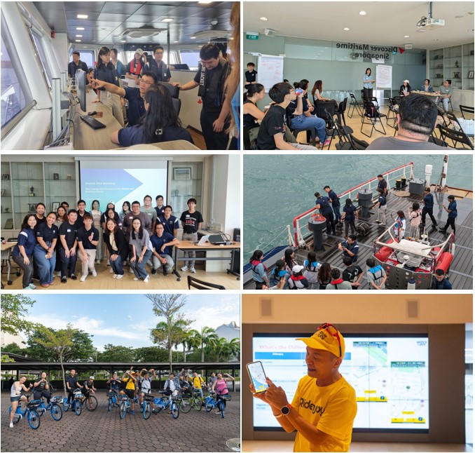
SG GeoFest 2024 supporting partner, the Maritime Port and Authority of Singapore (MPA) brought students and reps from the IHLs on a field trip to understand hydrographic and maritime drone operations. They also held a workshop to discuss use cases from marine geospatial data, with presentations on geospace-sea and multi-domain capabilities.
SG GeoFest 2024 wrapped up with a scenic cycling ride, featuring Singapore's leading active mobility app, MOVE&JOY. This app leverages OneMap and location-based services to support active mobility users and local businesses.
SG GeoFest 2024 Supported By
